Miscellaneous
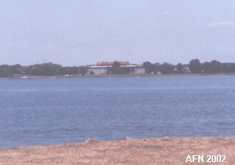 Fort Delaware viewed from DuPont. |
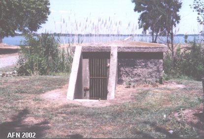 Cable Hut at the wharf site. N 39Ḟ34.422 W075Ḟ34.827 |
 Mine-control tower #2. N 39Ḟ34.057 W075Ḟ34.958 |
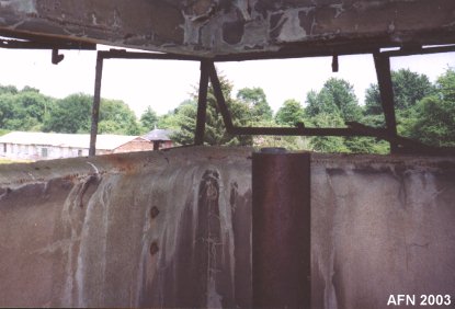 Inside the M2 tower. |
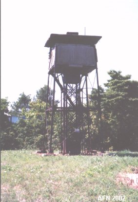
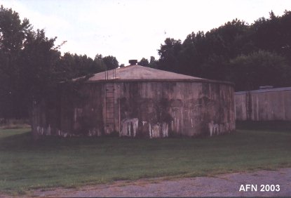 Water storage tank. N 39Ḟ34.052 W075Ḟ35.116 (USCGS) |
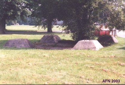 Command tower site behind Rodney-Best. N 39Ḟ34.291 W075Ḟ34.977 |
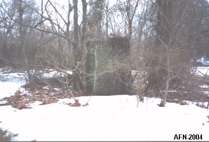 Remains of the M1 tower. N 39Ḟ34.410 W075Ḟ35.051 |
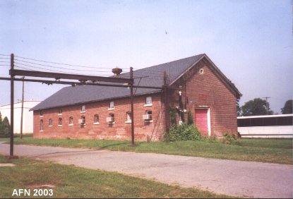 Warehouse. |
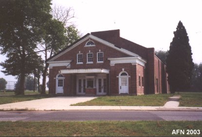 Theatre. |
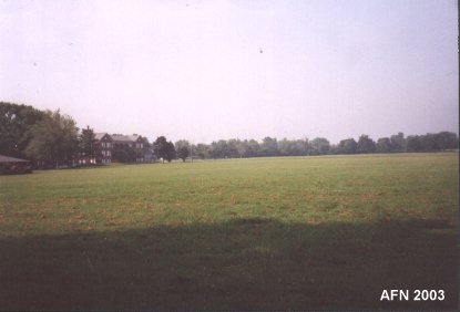 Parade Ground. |
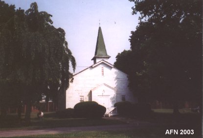 Chapel. |
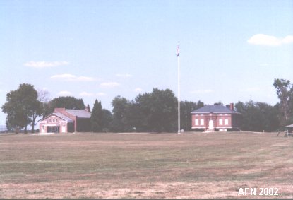 Parade Ground (with theatre & post HQ). |
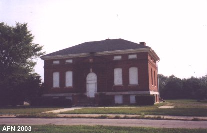 Post HQ. |

 |
|
