Miscellaneous
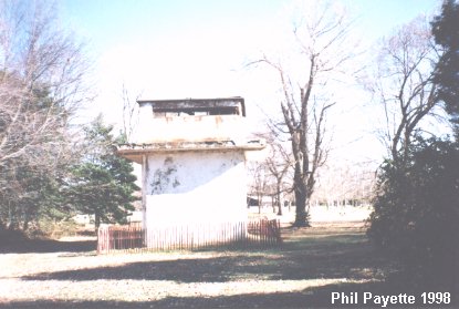 The Fire Control tower behind Battery Mt. Vernon. N 38Ḟ42.937 W077Ḟ03.168 The Meteorological Station was located behind here. |
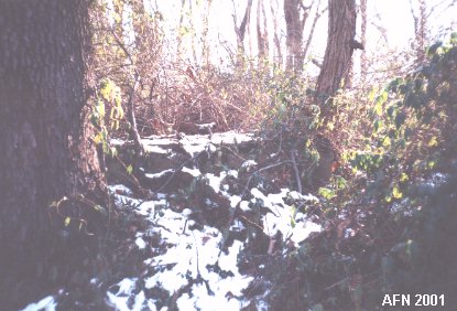 Concrete platform for the Sunset Gun next to Battery Mt. Vernon. N 38Ḟ42.915 W077Ḟ03.176 {see "American Seacoast Defenses" 2nd Ed. page 188} |
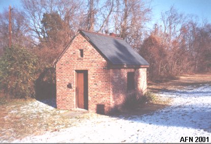 The Bakery according to my 1921 map. N 38Ḟ43.058 W077Ḟ03.136 |
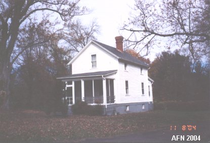 NCO Quarters. N 38Ḟ42.969 W077Ḟ02.917 |
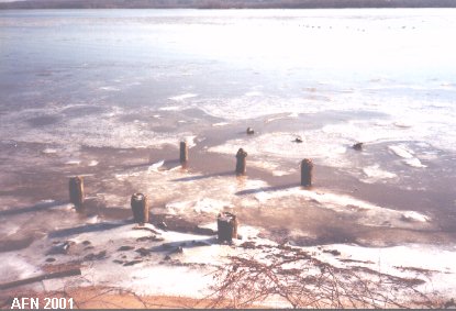 Site of the original wharf. N 38Ḟ42.696 W077Ḟ03.068 |
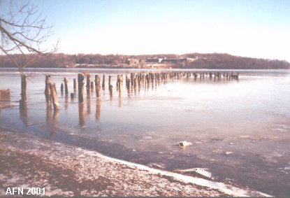 Remains of the Quartermaster Wharf. N 38Ḟ42.869 W077Ḟ02.775 Note Fort Washington in the background. |
 Original site of the Fire Control Station. N 38Ḟ42.948 W077Ḟ02.972 The Hospital was located across the street. |

 |
|
