Gelaspus Point Base-End Station - Location 154
B14/2 S14/2 Fort Dearborn
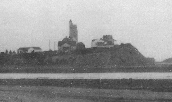
photo courtesy of Steve Gerritson
A close-up of the tower on Great Hill at the mouth of the Mousam River, looking east.Photo taken sometime between 1946 and 1950.
This five-story concrete tower with attached barracks was completed in September 1943 on a leased 0.23 acre site as a Base-End Station (with DPF) for Battery 103/Seaman (B14 S14) at Fort Dearborn. The roof deck was used for the anti-aircraft intelligence service (AAIS OP 13). Before the tower was actually built, this site was planned as a double station to also serve Battery 101 at Fort Williams, Cape Elizabeth, Maine. Battery 101 was never built, so this station served only Portsmouth, and the design of the tower was slightly altered to remove one floor from the top. This tower was almost identical in design to the tower at Halibut Point in Rockport, Massachusetts, to even include the fake church-like steeple on the roof. The tower and barracks were demolished by the land owners in either 1949 or 1950, soon after the Army's lease was terminated. There are no visible remains today.
GPS for Base-End Station (OC2086) - N 43° 20.623 W 070° 30.778 (NAD 83)
GPS for Location 154 Benchmark (OC0525) - N 43° 20.717 W 070° 30.817 (NAD 83)
Located on Great Hill Road at Gelaspus Point (Great Hill), Kennebunk Beach, Maine.
Private Property!
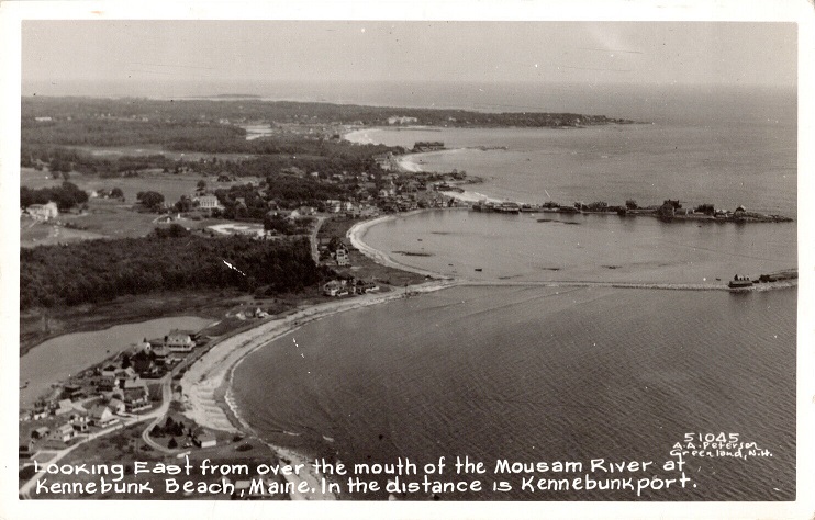
A 1940s era unused postcard of Gelaspus Point at the mouth of the Mousam River.
The house located under the "M" of "Maine" in the card's caption was the one adjacent to the tower seen in the previous photo,
but because the tower is not seen, it is hard to date the photo with any certainty.

WWII TOWERS HOME