Other Structures
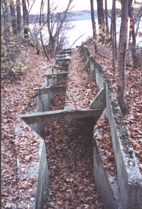
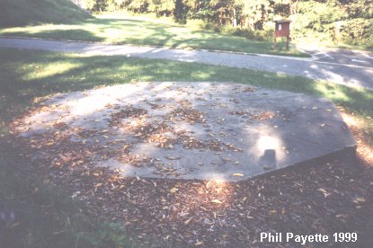 This is all that remains of the Water Battery, a temporary 10-inch gun emplacement. Located between Battery Humphreys and Battery Smith. N 38Ḟ42.404 W077Ḟ01.762 |
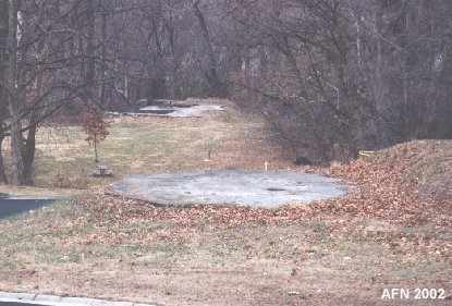 Temp. gun empl. w/ Battery Smith in background. {see "American Seacoast Defenses" 2nd Ed. page 120} Open area between was site of Battery Wilkin control stations. |
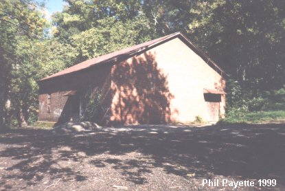 The Torpedo Storehouse down by the river. The Engineer Wharf was here. N 38Ḟ42.864 W077Ḟ02.035 |
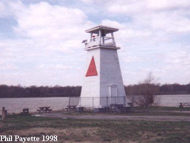 The former lighthouse's bell tower. This now serves as a lighthouse. The Quartermaster Wharf and the old Water Battery were here. N 38Ḟ42.736 W077Ḟ02.213 (USCGS) |
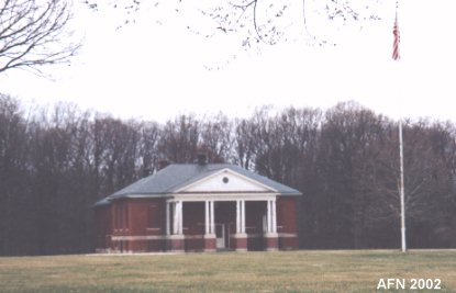 Post Exchange (PX) and Gym. N 38Ḟ42.729 W077Ḟ01.566 |
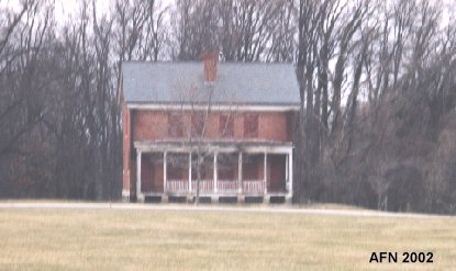 Duplex used as quarters. N 38Ḟ42.776 W077Ḟ01.583 |
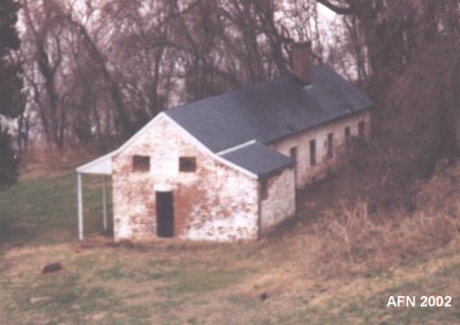 Used as quarters. N 38Ḟ42.756 W077Ḟ02.061 |
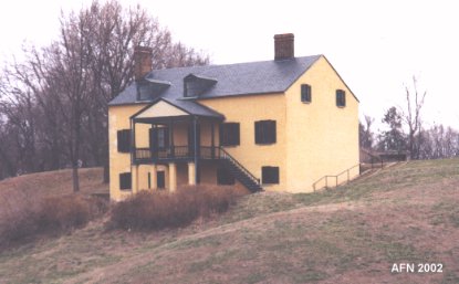 Officers' quarters, also used as the Lighthouse Keeper's Quarters. Now the park's visitor center. N 38Ḟ42.752 W077Ḟ01.987 |
 Rifle Range Target Butt. N 38Ḟ42.369 W077Ḟ01.862 |
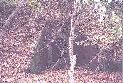 1890's Mine Casemate. N 38Ḟ42.947 W077Ḟ01.843 |
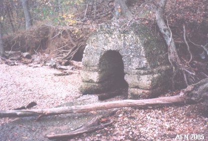 Mine cable terminal. N 38Ḟ42.990 W077Ḟ01.894 |

 |
|
