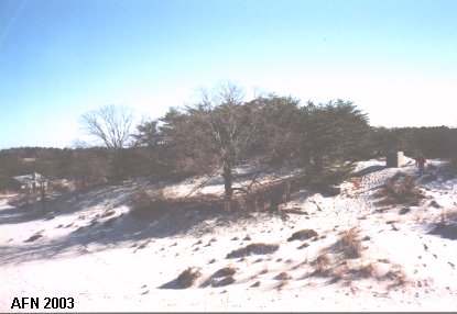
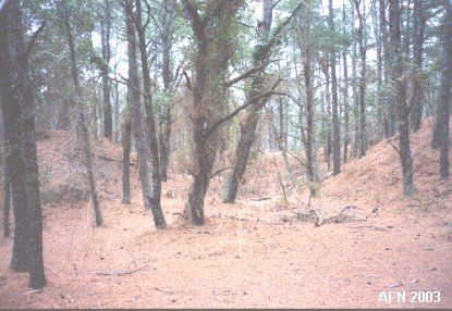
Other Structures

Mining Facilities
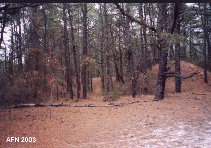
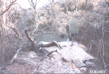 Buried entrance to Mine Casemate. N 38°47.160 W075°05.980 |
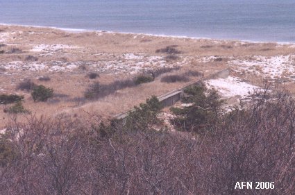
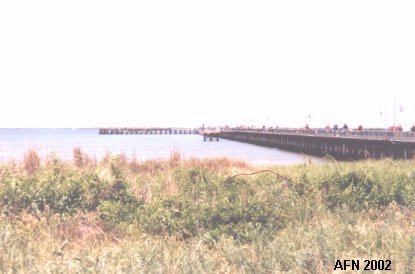 Old wharf modified into current pier. N 38°47.183 W075°06.093 |
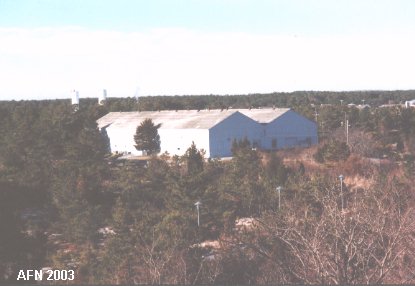 Mine Storage building. N 38°47.068 W075°06.092 (USCGS No. 40 - Reset 1995) |
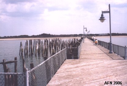 Another view of the pier. |
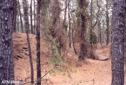
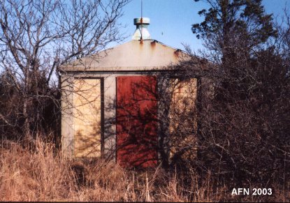 Storage Magazine #1. N 38°47.130 W075°06.133 |
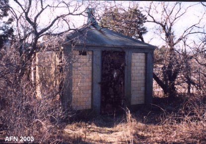 Storage Magazine #2. |
Plotting & Switchboard Rooms and HDCP
 Smith's PSR. Entrances are buried. N 38°46.105 W075°05.253 |
 Battery 519's PSR. Built in 1943. N 38°46.689 W075°05.945 Located near entrance to campground. Entrances are buried. |
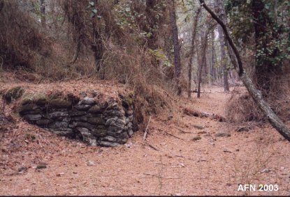
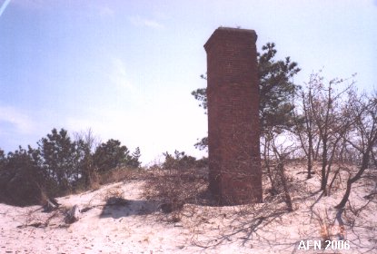 Remains of the incinerator. |
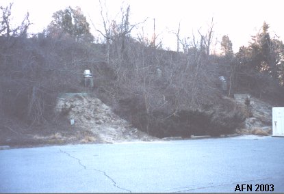
 Harbor Defense Command Post. N 38°46.504 W075°06.031 Located on backside of campground next to Tower 12. Entrances are buried. |
Railway Artillery Battery
{see "American Seacoast Defenses" 2nd Ed. page 116}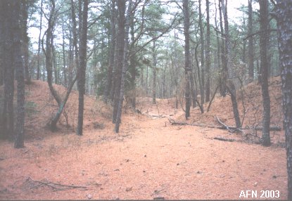 Railroad gun emplacement #4. |
 Railroad gun emplacement #3. |
 Railroad gun emplacement #2. |
 Railroad gun emplacement #1. |
 Wall of one emplacement. |
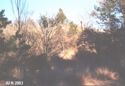
 Rifle Range target butt near Battery 519. |
 |
|
 |
|
